
Category: Artificial Intelligence Department
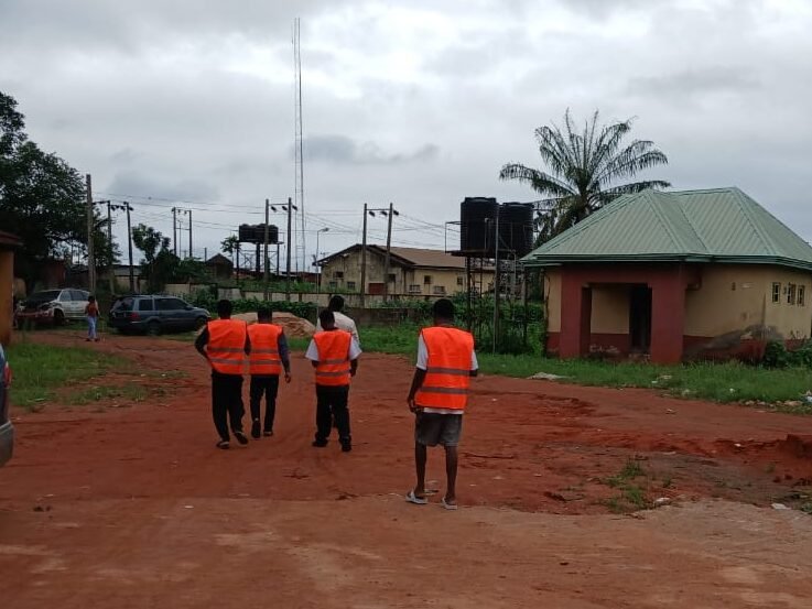
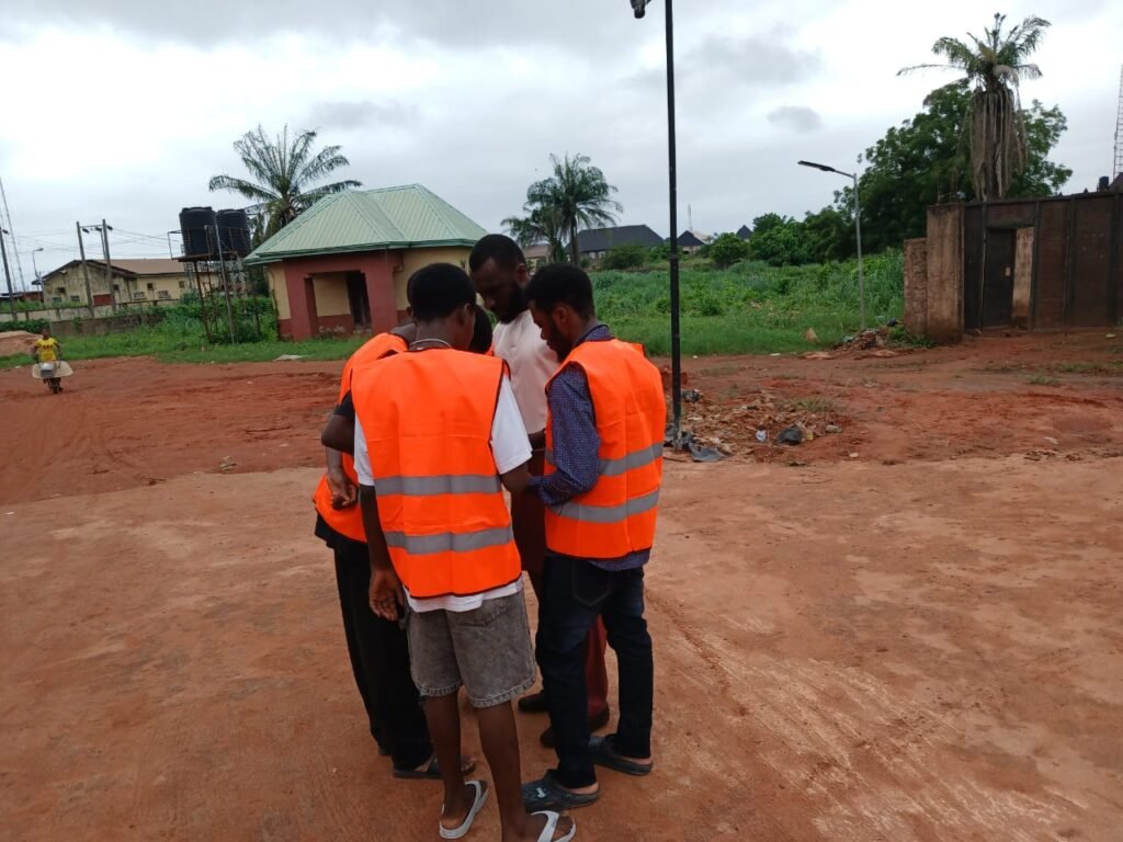
After wrapping up their outdoor trial runs with Mobile Topographer and UTM GeoMap apps—where they practiced real-time coordinate logging and device calibration—the Artificial Intelligence scholars spent the past week mastering the software required to process that infrastructure data. This intensive training bridged the gap between capturing physical community coordinates on mobile devices and rendering them into precise digital models for the Smart Community Mapping and Infrastructure Project.
Here is how the trainees progressed through their technical curriculum last week as they prepared for full-scale deployment:
Turning Field Coordinates into Digital Maps
The early part of the week focused on learning how to translate physical coordinates into precise digital representations.
- Data Conversion: Scholars were systematically guided through installing AutoCAD on their desktop systems. They learned the process of converting coordinate data acquired through Mobile Topographer from CSV format into an AutoCAD-compatible format.
- Practical Plotting: Trainees engaged in practical sessions to import, convert, and graphically represent these geospatial coordinates within the AutoCAD environment for precise drafting and plotting.
Business Intelligence and Data Visualization
By midweek, the curriculum expanded to introduce Power BI, equipping the scholars with the tools necessary to analyze and communicate community data effectively.
- System Architecture: Trainees received an in-depth introduction to Power BI’s operational architecture, focusing on its data visualization and interactive dashboard functionalities.
- Hands-On Implementation: Comprehensive practical sessions allowed participants to work directly with the software, reinforcing their proficiency in transforming raw data into clear, interactive visual formats.
- Advanced Data Analysis: The week culminated in an extensive look at data analysis methodologies. The scholars were instructed on how to take complex datasets and systematically transform them into meaningful, actionable insights to facilitate informed community decision-making.
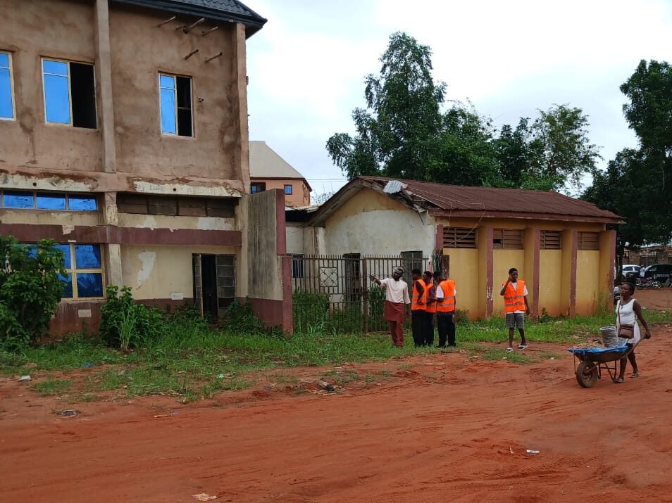
With their technical foundation in AutoCAD and Power BI firmly established, the scholars have completed their preparatory phases. Starting today, the team officially takes to the streets of the community to begin full-scale, real-world data mapping.